To map or not to map?
The most recent Geoscientist published for February 2014,
included a double-paged spread featuring reader’s letters. The topic in hand from many readers was the
role of fieldwork mapping which came about after Desmond Donovan questioned
whether it was needed in the UK at all.
 |
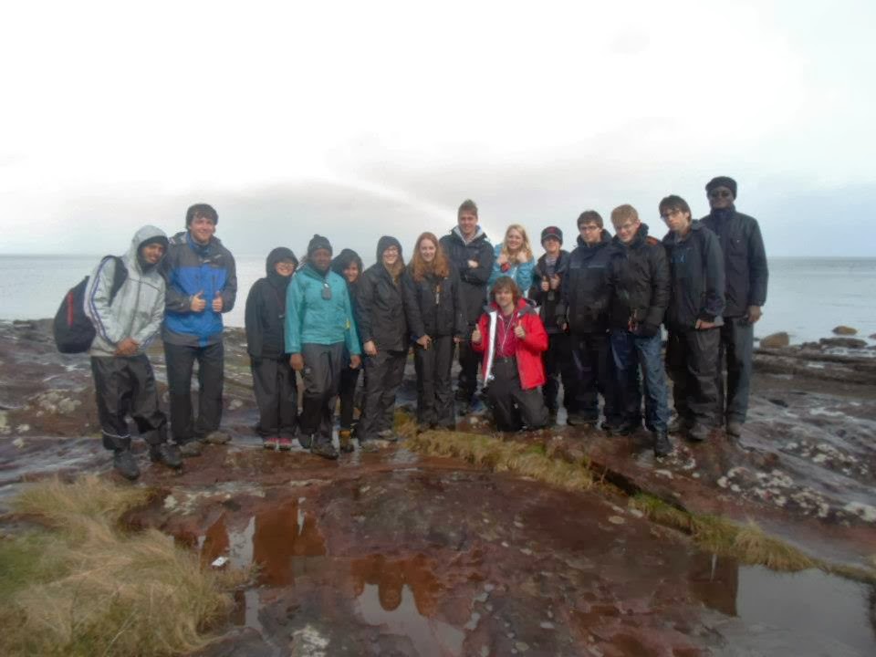
| Isle of Arran fieldwork group |
In agreeance with Andy Howard, who made the relevant point
that mapping is actually a skill – despite the fact that it produces new
up-to-date geologically relevant maps, is that it allows for an undergraduate
like me, to question why a geologist interpreted a geological structure the way
they did. It allows me to critically analyse someone else’s interpretation when
I’m in the field and not to be afraid if I had a different view. Ultimately, as
field maps are replaced and areas are becoming more detailed, the skill of
mapping should be encouraged as the new map itself is just a by-product of
one’s learning.
The principles of fieldwork mapping I have learnt within the
first two years of my degree have formed the building blocks of the whole
subject of geology. Douglas Helm also
states “it teaches you to think in 3D”. I have a greater understanding of
geological features and can now appreciate them in the field, instead of a
textbook.
Also reinforced by John Dewey was the statement that
“geology must be regarded as equal to other sciences and taught in our schools”,
which I am completely in agreeance with. Dougal Jerram was recently a guest
speaker at the University of Leicester for the PCSB Society. It was great to
hear future educational programs for younger generations following in Iain
Stewart’s footprints, well known for enthusing the nation with his geological
wisdom. In order for fewer disasters to occur, a standard of education which
incorporates variation of the world around us, would allow people to second
think their settlement destinations for example. It’s easier said than done,
but for developed countries, there really is no excuse for the lack of
understanding.
The University of Leicester which incorporates a great deal
of fieldwork within their geology undergraduate degree courses, has allowed me
to be extremely confident in the field and to challenge a published BGS map –
challenging a professional. The depth of fieldwork for our mapping modules each
year would be of great benefit to other undergraduates who may map there in the
future. I don’t understand why the BGS hasn’t made a database of uploaded field
data from undergraduates – as long as you have evidence to back up your
interpretation, I don’t see why that could not be just as trusted as published
professionals.

Comments
Post a Comment